![[1906 - The Coppock Barn, Monroe Township, Miami County, Ohio]](images/index/CoppockBarnMasthead2.jpg)
![[1906 - The Coppock Barn, Monroe Township, Miami County, Ohio]](images/index/CoppockBarnMasthead2.jpg)
|
|
The Barn Log - Photographs January 12, 2006 |
||
|---|---|---|
| All photographs by Ken R. Noffsinger unless otherwise noted. | ||
 1
1
|
 2
2
|
 3
3
|
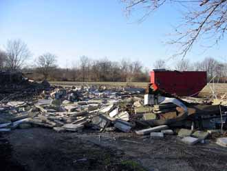
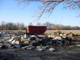
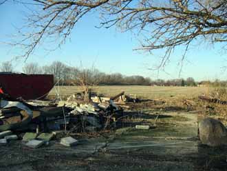
| Photographs one through three look to the northwest. Remains of the collapsed 1939 and 1956 silos are seen here. | ||
|
|
|
|
 4
4
|
 5
5
|
 6
6
|
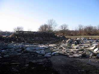
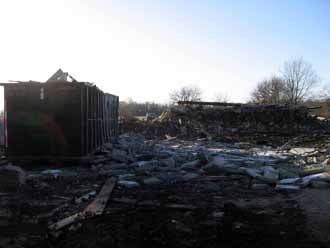
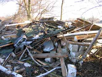
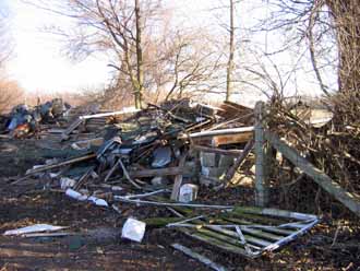
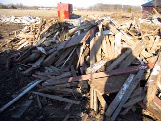
| Photographs four and five are looking west. The mound to the rear is what remained of the limestone foundation's west wall. The earthen ramp that provided access to the upper level of the barn is just behind it. The earth ramp remained for a number of years, after all other remnants of the barn had been removed, burned or buried. | Photographs six and seven look to the southeast, showing the remains of the Milk House. | |
|
|
|
|
 7
7
|
 8
8
|
 9
9
|
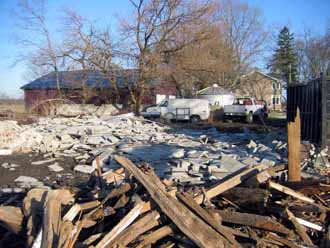
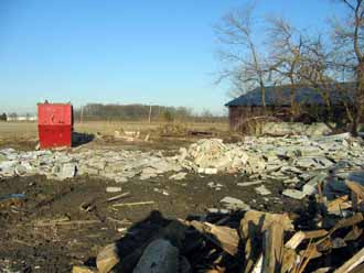
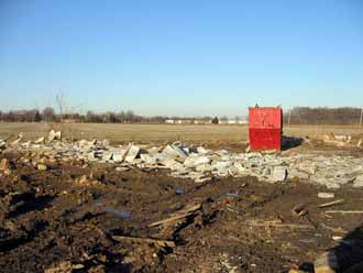
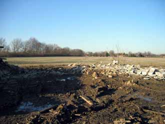
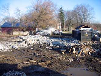
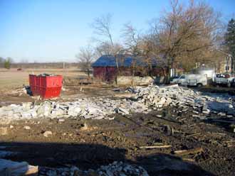
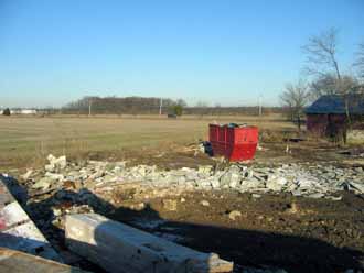
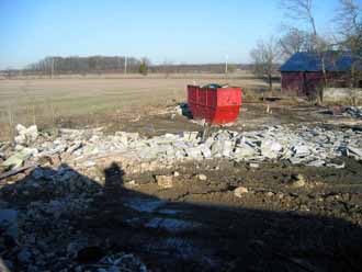
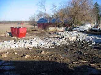
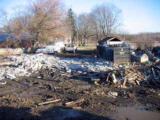
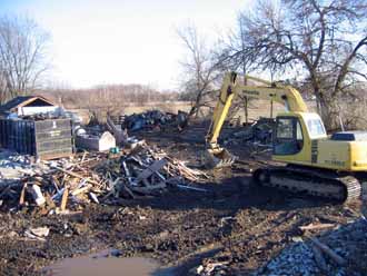
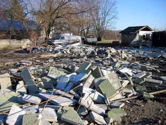
| Looking to the northeast. | Photographs nine through eighteen, primarily looking to the north and east, provide various views of how the silos appeared after their collapse. Being hollow cement tubes, they fell in noticeably straight lines. Photographs fourteen and seventeen illustrate especially well the 1939 Silo's remains from left to center, with the 1956 Silo at right. | |
|
|
|
|
 10
10
|
 11
11
|
 12
12
|
|
|
|
|
 13
13
|
 14
14
|
 15
15
|
|
|
|
|
 16
16
|
 17
17
|
 18
18
|
|
|
|
|
 19
19
|
 20
20
|
 21
21
|
| To the southeast. This is where the South Addition once stood. |
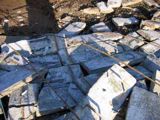
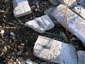
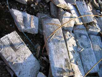
Close-up views of the 1939 Silo are provided in photographs twenty through twenty-three. Black lettering can clearly be
seen on several blocks in photographs twenty-one through twenty-three. The lettering, in three lines, read: HOMESTEAD 1824 - 1939 PORTLAND Presumably "Portland" referred to the type of cement used to construct the silo. In two decades of research on the Tipp City Coppocks, the author has never been able to attach significance to the 1824 date. |
|
|
|
|
|
 22
22
|
 23
23
|
|